Bobbers Mill: the remains of Lindley & Lindley
Introduction
The photograph on this page of Bobbers Mill: the remains of Lindley & Lindley by John Sutton as part of the Geograph project.
The Geograph project started in 2005 with the aim of publishing, organising and preserving representative images for every square kilometre of Great Britain, Ireland and the Isle of Man.

There are currently over 7.5m images from over 14,400 individuals and you can help contribute to the project by visiting https://www.geograph.org.uk
Bobbers Mill: the remains of Lindley & Lindley
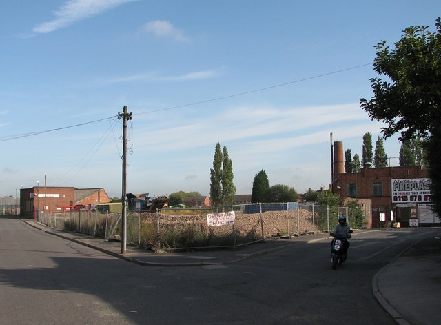
Image: © John Sutton Taken: 15 Sep 2011
Demolition of the former hosiery factory has been going on for some time. The broken bricks which are all that remain of the buildings which once filled the wedge between Alfreton Road (left) and Plantation Side have been piled more neatly since I was last here earlier in 2011 - see Image], which has links to earlier views.
Images are licensed for reuse under creativecommons.org/licenses/by-sa/2.0
Image Location
Latitude
52.966242
Longitude
-1.181366