The A39 approaching Torridge Bridge
Introduction
The photograph on this page of The A39 approaching Torridge Bridge by Roger A Smith as part of the Geograph project.
The Geograph project started in 2005 with the aim of publishing, organising and preserving representative images for every square kilometre of Great Britain, Ireland and the Isle of Man.

There are currently over 7.5m images from over 14,400 individuals and you can help contribute to the project by visiting https://www.geograph.org.uk
The A39 approaching Torridge Bridge
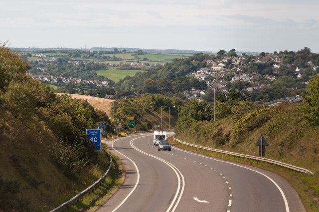
Image: © Roger A Smith Taken: 4 Sep 2011
Torridge Bridge is visible to the right, just below the Raleigh Estate. Just above the centre of the image is the Big Sheep and to the left Abbotsham. Below this are houses on the Kenwith Valley estate.
Images are licensed for reuse under creativecommons.org/licenses/by-sa/2.0
Image Location
Latitude
51.031438
Longitude
-4.185752