B1417 crosses the River Chelmer
Introduction
The photograph on this page of B1417 crosses the River Chelmer by Robin Webster as part of the Geograph project.
The Geograph project started in 2005 with the aim of publishing, organising and preserving representative images for every square kilometre of Great Britain, Ireland and the Isle of Man.

There are currently over 7.5m images from over 14,400 individuals and you can help contribute to the project by visiting https://www.geograph.org.uk
B1417 crosses the River Chelmer
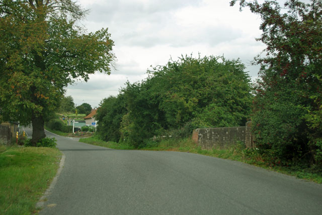
Image: © Robin Webster Taken: 15 Sep 2011
The closed Ridley's brewery is just around the corner.
Images are licensed for reuse under creativecommons.org/licenses/by-sa/2.0
Image Location
Latitude
51.830139
Longitude
0.449284