Lane past High House
Introduction
The photograph on this page of Lane past High House by Robin Webster as part of the Geograph project.
The Geograph project started in 2005 with the aim of publishing, organising and preserving representative images for every square kilometre of Great Britain, Ireland and the Isle of Man.

There are currently over 7.5m images from over 14,400 individuals and you can help contribute to the project by visiting https://www.geograph.org.uk
Lane past High House
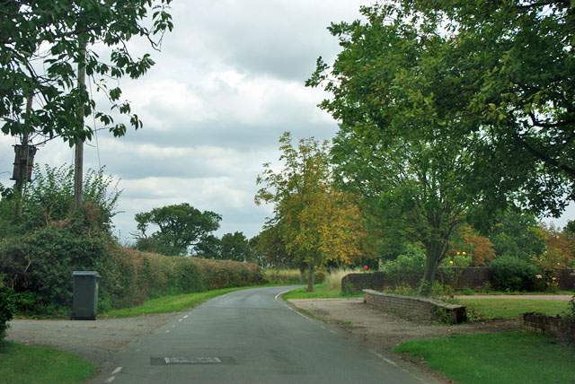
Image: © Robin Webster Taken: 15 Sep 2011
The name of this short lane is not advertised, but could be Poulters Lane, as this is the only farm on it.
Images are licensed for reuse under creativecommons.org/licenses/by-sa/2.0
Image Location
Latitude
51.820044
Longitude
0.437418