Ford on Bury Lane
Introduction
The photograph on this page of Ford on Bury Lane by Robin Webster as part of the Geograph project.
The Geograph project started in 2005 with the aim of publishing, organising and preserving representative images for every square kilometre of Great Britain, Ireland and the Isle of Man.

There are currently over 7.5m images from over 14,400 individuals and you can help contribute to the project by visiting https://www.geograph.org.uk
Ford on Bury Lane
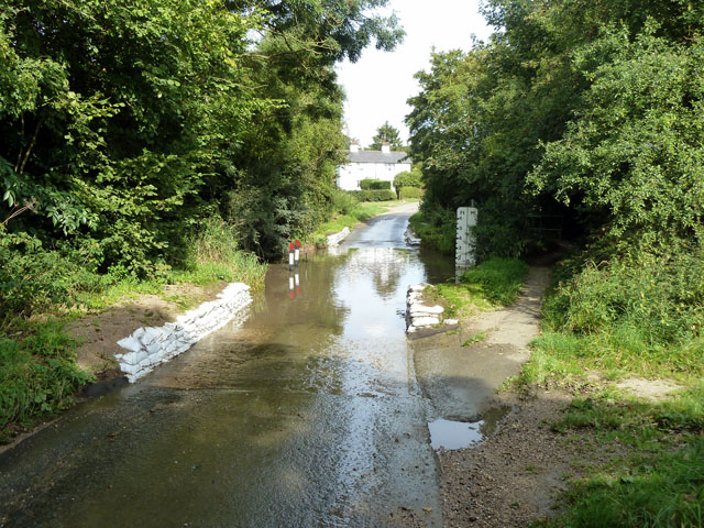
Image: © Robin Webster Taken: 15 Sep 2011
The depth gauge shows 1 ft in the crossing of Walthambury Brook. On the other side the gauge is obscured by grass, otherwise I might have thought twice about a transit (which was successful). The ford seems to be deeper now at this time of year than when I knew it over twenty years ago.
Images are licensed for reuse under creativecommons.org/licenses/by-sa/2.0
Image Location
Latitude
51.798867
Longitude
0.448169