Pastureland by Bull's Wood
Introduction
The photograph on this page of Pastureland by Bull's Wood by Espresso Addict as part of the Geograph project.
The Geograph project started in 2005 with the aim of publishing, organising and preserving representative images for every square kilometre of Great Britain, Ireland and the Isle of Man.

There are currently over 7.5m images from over 14,400 individuals and you can help contribute to the project by visiting https://www.geograph.org.uk
Pastureland by Bull's Wood
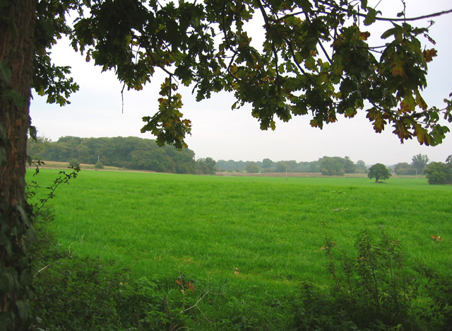
Image: © Espresso Addict Taken: 14 Oct 2006
Cattle pasture is the main land use throughout this gridsquare. Bull's Wood (left) is a mixed wood which spans this gridsquare and Image View from track from Dig Lane to Acton
Images are licensed for reuse under creativecommons.org/licenses/by-sa/2.0
Image Location
Latitude
53.061284
Longitude
-2.547581