New canalside housing at Weston, Staffordshire
Introduction
The photograph on this page of New canalside housing at Weston, Staffordshire by Roger D Kidd as part of the Geograph project.
The Geograph project started in 2005 with the aim of publishing, organising and preserving representative images for every square kilometre of Great Britain, Ireland and the Isle of Man.

There are currently over 7.5m images from over 14,400 individuals and you can help contribute to the project by visiting https://www.geograph.org.uk
New canalside housing at Weston, Staffordshire
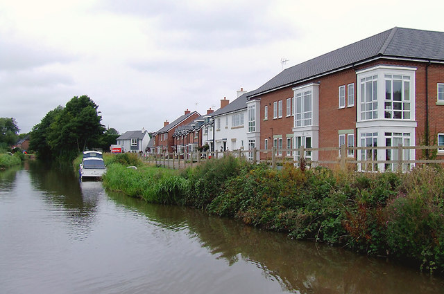
Image: © Roger D Kidd Taken: 4 Sep 2011
By the Trent and Mersey Canal, the current satellite images show this site before development. Salt Works Lane is nearby, as was the former site of Ingestre Station (closed in 1939). It is being marketed as Canalside Wharf development by Taylor Wimpey. http://www.primelocation.com/new-homes/developmentLocalinfo/dev/5464/
Images are licensed for reuse under creativecommons.org/licenses/by-sa/2.0
Image Location
Latitude
52.837548
Longitude
-2.038346