Aveley - Ship Lane meets the High Street
Introduction
The photograph on this page of Aveley - Ship Lane meets the High Street by Robin Webster as part of the Geograph project.
The Geograph project started in 2005 with the aim of publishing, organising and preserving representative images for every square kilometre of Great Britain, Ireland and the Isle of Man.

There are currently over 7.5m images from over 14,400 individuals and you can help contribute to the project by visiting https://www.geograph.org.uk
Aveley - Ship Lane meets the High Street
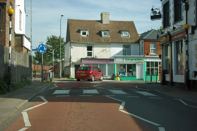
Image: © Robin Webster Taken: 15 Sep 2011
This is the centre of the old village, which is now much swollen by post-war housing estates.
Images are licensed for reuse under creativecommons.org/licenses/by-sa/2.0
Image Location
Latitude
51.49875
Longitude
0.256265