Chapel Hill Road (B7) south of the Aughnagun Landfill Site
Introduction
The photograph on this page of Chapel Hill Road (B7) south of the Aughnagun Landfill Site by Eric Jones as part of the Geograph project.
The Geograph project started in 2005 with the aim of publishing, organising and preserving representative images for every square kilometre of Great Britain, Ireland and the Isle of Man.

There are currently over 7.5m images from over 14,400 individuals and you can help contribute to the project by visiting https://www.geograph.org.uk
Chapel Hill Road (B7) south of the Aughnagun Landfill Site
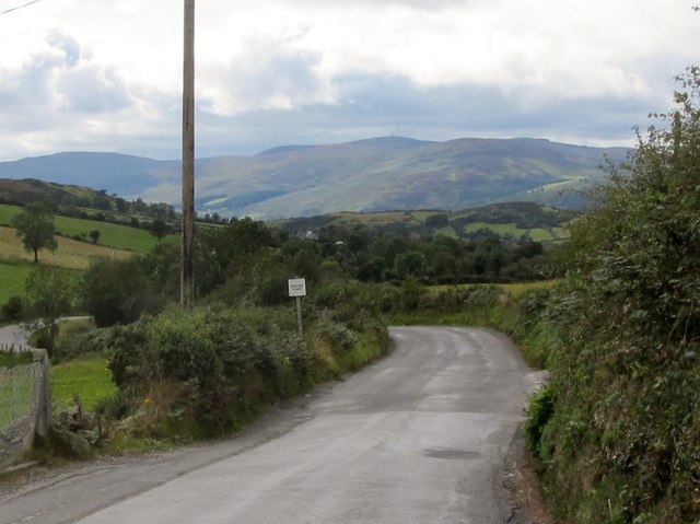
Image: © Eric Jones Taken: 14 Sep 2011
The mouth of Milltown Hill road can be seen on the right. The sign on the left hand side of the road reads "Passing Point".
Images are licensed for reuse under creativecommons.org/licenses/by-sa/2.0
Image Location
Latitude
54.1591
Longitude
-6.246428