Gillingham Pier
Introduction
The photograph on this page of Gillingham Pier by David Anstiss as part of the Geograph project.
The Geograph project started in 2005 with the aim of publishing, organising and preserving representative images for every square kilometre of Great Britain, Ireland and the Isle of Man.

There are currently over 7.5m images from over 14,400 individuals and you can help contribute to the project by visiting https://www.geograph.org.uk
Gillingham Pier
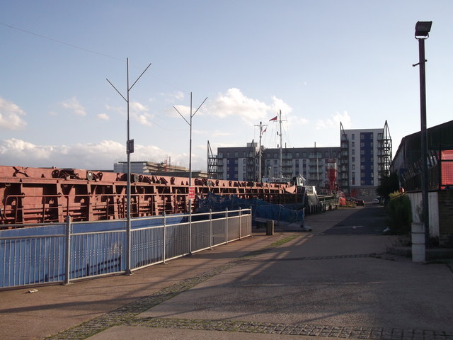
Image: © David Anstiss Taken: 14 Sep 2011
This dock is at the end of Pier Approach Road, on the River Medway. The large building overlooking the pier is part of the Victory Pier development. This is a block of new apartments with a (public accessible) gym on the ground floor.
Images are licensed for reuse under creativecommons.org/licenses/by-sa/2.0
Image Location
Latitude
51.397483
Longitude
0.554339