Bridleway to Ripponden Road, Denshaw
Introduction
The photograph on this page of Bridleway to Ripponden Road, Denshaw by michael ely as part of the Geograph project.
The Geograph project started in 2005 with the aim of publishing, organising and preserving representative images for every square kilometre of Great Britain, Ireland and the Isle of Man.

There are currently over 7.5m images from over 14,400 individuals and you can help contribute to the project by visiting https://www.geograph.org.uk
Bridleway to Ripponden Road, Denshaw
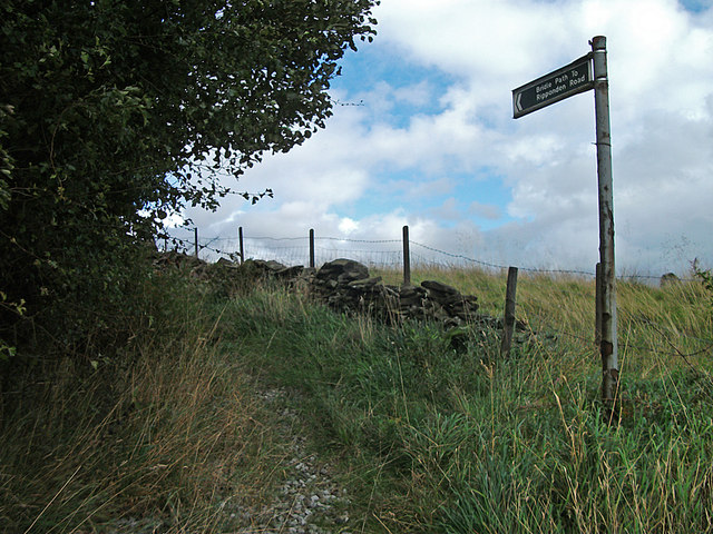
Image: © michael ely Taken: 14 Sep 2011
This overgrown and underused bridleway cuts the corner off the A672/A640 junction at Denshaw. It is easier in descent on a bike if you don't mind a few nettle stings. Here we are at the A640 (Rochdale Road) end.
Images are licensed for reuse under creativecommons.org/licenses/by-sa/2.0
Image Location


Leaflet Map data © OpenStreetMap
Latitude
53.595296
Longitude
-2.043627