Gas Works Wharf & Evesham lock
Introduction
The photograph on this page of Gas Works Wharf & Evesham lock by Jennifer Luther Thomas as part of the Geograph project.
The Geograph project started in 2005 with the aim of publishing, organising and preserving representative images for every square kilometre of Great Britain, Ireland and the Isle of Man.

There are currently over 7.5m images from over 14,400 individuals and you can help contribute to the project by visiting https://www.geograph.org.uk
Gas Works Wharf & Evesham lock
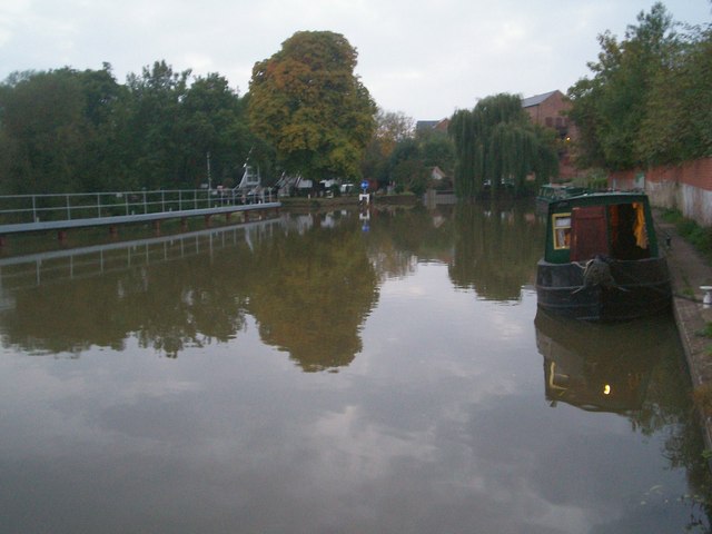
Image: © Jennifer Luther Thomas Taken: 14 Oct 2006
Gas Works Wharf on the right. The weir is to the left of the walkway. The entrance to Evesham lock is marked by the blue sign. To the right of the sign is the mill leat, with part of the mill buildings behind the willow tree.
Images are licensed for reuse under creativecommons.org/licenses/by-sa/2.0
Image Location
Latitude
52.09343
Longitude
-1.941568