Ploughed field east of Mickley Square
Introduction
The photograph on this page of Ploughed field east of Mickley Square by Andrew Curtis as part of the Geograph project.
The Geograph project started in 2005 with the aim of publishing, organising and preserving representative images for every square kilometre of Great Britain, Ireland and the Isle of Man.

There are currently over 7.5m images from over 14,400 individuals and you can help contribute to the project by visiting https://www.geograph.org.uk
Ploughed field east of Mickley Square
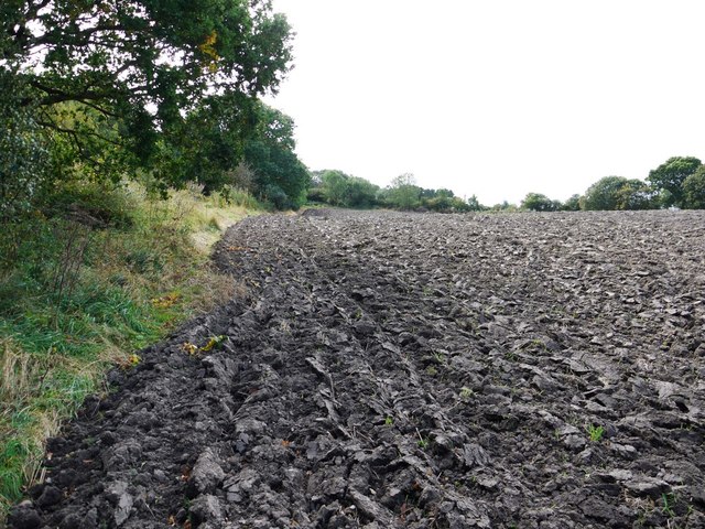
Image: © Andrew Curtis Taken: 12 Sep 2011
A path on the left, at the edge of the wood, follows the line of an old tramway which provided a connection between West Mickley and Eltringham Collieries in the early 1900s.
Images are licensed for reuse under creativecommons.org/licenses/by-sa/2.0
Image Location
Latitude
54.957346
Longitude
-1.8752