Swain Road: looking upstream at the crossing of the Norbury Brook
Introduction
The photograph on this page of Swain Road: looking upstream at the crossing of the Norbury Brook by Christopher Hilton as part of the Geograph project.
The Geograph project started in 2005 with the aim of publishing, organising and preserving representative images for every square kilometre of Great Britain, Ireland and the Isle of Man.

There are currently over 7.5m images from over 14,400 individuals and you can help contribute to the project by visiting https://www.geograph.org.uk
Swain Road: looking upstream at the crossing of the Norbury Brook
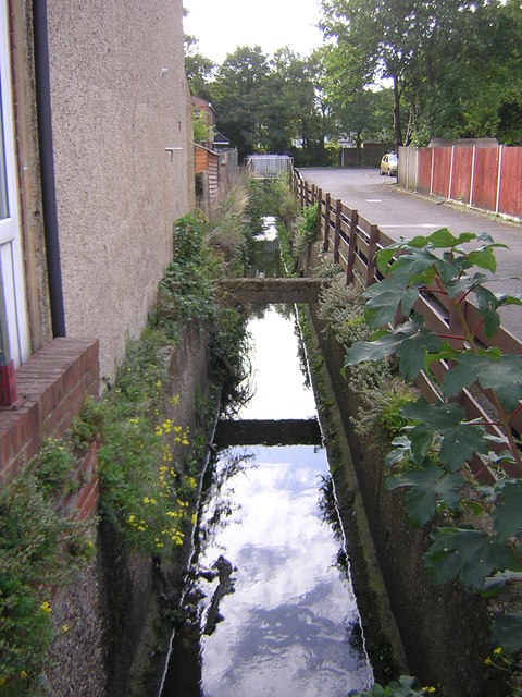
Image: © Christopher Hilton Taken: 13 Sep 2011
A new development, Treetops Court, has been inserted into the street pattern here: its access road runs alongside the brook, opening it up, and one reaches its houses over small bridges. For the view downstream towards this point, see Image The view downstream at the Swain Road crossing, behind the photographer's back, can be seen in Image
Images are licensed for reuse under creativecommons.org/licenses/by-sa/2.0
Image Location
Latitude
51.394964
Longitude
-0.098164