Footpath from Skegby Lane to Sutton Road, Mansfield
Introduction
The photograph on this page of Footpath from Skegby Lane to Sutton Road, Mansfield by Antony Dixon as part of the Geograph project.
The Geograph project started in 2005 with the aim of publishing, organising and preserving representative images for every square kilometre of Great Britain, Ireland and the Isle of Man.

There are currently over 7.5m images from over 14,400 individuals and you can help contribute to the project by visiting https://www.geograph.org.uk
Footpath from Skegby Lane to Sutton Road, Mansfield
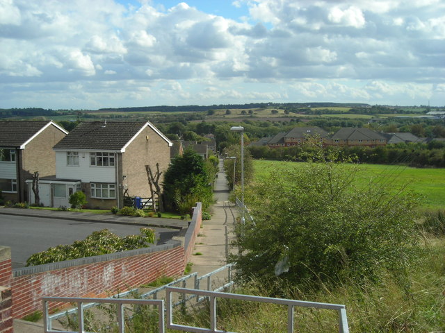
Image: © Antony Dixon Taken: 13 Sep 2011
Grange Farm Estate on the left, former farmland on the right, new accommodation blocks at King's Mill Hospital right of centre, Hamilton Hill in the distance and Cox Moor on the horizon.
Images are licensed for reuse under creativecommons.org/licenses/by-sa/2.0
Image Location
Latitude
53.137801
Longitude
-1.228187