Road junction under the trees
Introduction
The photograph on this page of Road junction under the trees by Robin Webster as part of the Geograph project.
The Geograph project started in 2005 with the aim of publishing, organising and preserving representative images for every square kilometre of Great Britain, Ireland and the Isle of Man.

There are currently over 7.5m images from over 14,400 individuals and you can help contribute to the project by visiting https://www.geograph.org.uk
Road junction under the trees
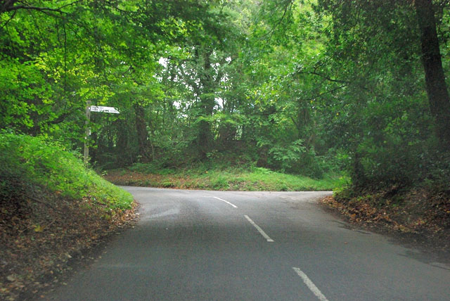
Image: © Robin Webster Taken: 13 Sep 2011
Shere Road, the main route, bends round to the left and becomes Ride Way. Peaslake Road goes right.
Images are licensed for reuse under creativecommons.org/licenses/by-sa/2.0
Image Location


Leaflet Map data © OpenStreetMap
Latitude
51.165505
Longitude
-0.448031