Dark Lane
Introduction
The photograph on this page of Dark Lane by Nigel Mykura as part of the Geograph project.
The Geograph project started in 2005 with the aim of publishing, organising and preserving representative images for every square kilometre of Great Britain, Ireland and the Isle of Man.

There are currently over 7.5m images from over 14,400 individuals and you can help contribute to the project by visiting https://www.geograph.org.uk
Dark Lane
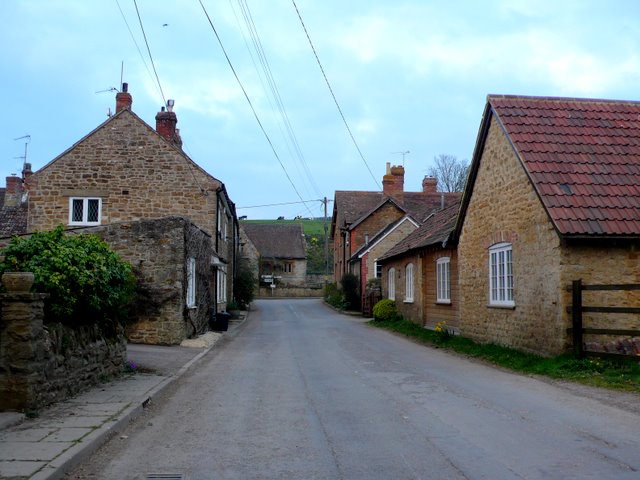
Image: © Nigel Mykura Taken: 29 Mar 2011
Dark Lane is one of the main side roads of the village intersecting with the main street which can be seen in the distance. South west of the village Dark Lane becomes Pit Lane.
Images are licensed for reuse under creativecommons.org/licenses/by-sa/2.0
Image Location
Latitude
50.98518
Longitude
-2.538601