Whitehaven Harbour
Introduction
The photograph on this page of Whitehaven Harbour by Stephen McKay as part of the Geograph project.
The Geograph project started in 2005 with the aim of publishing, organising and preserving representative images for every square kilometre of Great Britain, Ireland and the Isle of Man.

There are currently over 7.5m images from over 14,400 individuals and you can help contribute to the project by visiting https://www.geograph.org.uk
Whitehaven Harbour
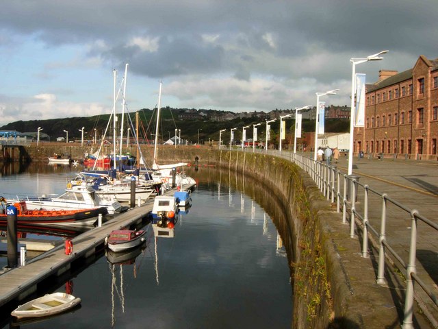
Image: © Stephen McKay Taken: 10 Oct 2006
In the 18th century, Whitehaven was the third largest town in the north of England and was a more important port than Liverpool. Today the harbour is largely used as a marina for pleasure craft.
Images are licensed for reuse under creativecommons.org/licenses/by-sa/2.0
Image Location


Leaflet Map data © OpenStreetMap
Latitude
54.550392
Longitude
-3.589305