Flisk Wood
Introduction
The photograph on this page of Flisk Wood by William Starkey as part of the Geograph project.
The Geograph project started in 2005 with the aim of publishing, organising and preserving representative images for every square kilometre of Great Britain, Ireland and the Isle of Man.

There are currently over 7.5m images from over 14,400 individuals and you can help contribute to the project by visiting https://www.geograph.org.uk
Flisk Wood
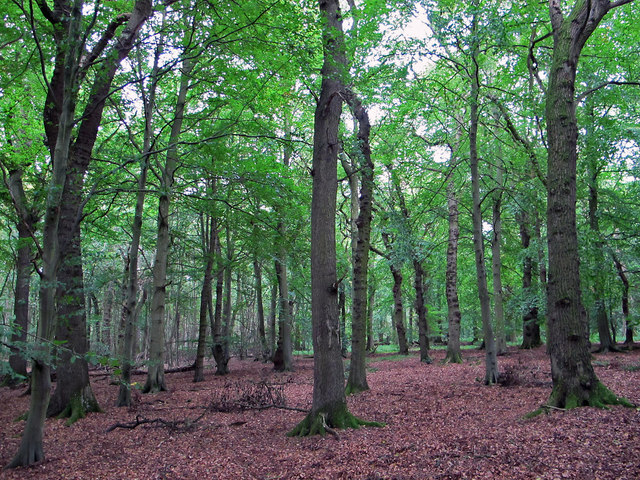
Image: © William Starkey Taken: 11 Sep 2011
Trees and leaf canopy in Flisk Wood, which is the largest area of mixed deciduous woodland in Fife. The wood supports the growth of several species of rare plants, and is designated as a SSSI.
Images are licensed for reuse under creativecommons.org/licenses/by-sa/2.0
Image Location
Latitude
56.391521
Longitude
-3.08767