View along lane near Fostall
Introduction
The photograph on this page of View along lane near Fostall by Nick Smith as part of the Geograph project.
The Geograph project started in 2005 with the aim of publishing, organising and preserving representative images for every square kilometre of Great Britain, Ireland and the Isle of Man.

There are currently over 7.5m images from over 14,400 individuals and you can help contribute to the project by visiting https://www.geograph.org.uk
View along lane near Fostall
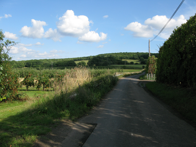
Image: © Nick Smith Taken: 24 Aug 2011
The road further along is called Butler's Hill but it isn't clear whether that name extends to this section of road.
Images are licensed for reuse under creativecommons.org/licenses/by-sa/2.0
Image Location
Latitude
51.311727
Longitude
0.96804