The Essex Way 163: Burnthouse Farm
Introduction
The photograph on this page of The Essex Way 163: Burnthouse Farm by Trevor Harris as part of the Geograph project.
The Geograph project started in 2005 with the aim of publishing, organising and preserving representative images for every square kilometre of Great Britain, Ireland and the Isle of Man.

There are currently over 7.5m images from over 14,400 individuals and you can help contribute to the project by visiting https://www.geograph.org.uk
The Essex Way 163: Burnthouse Farm
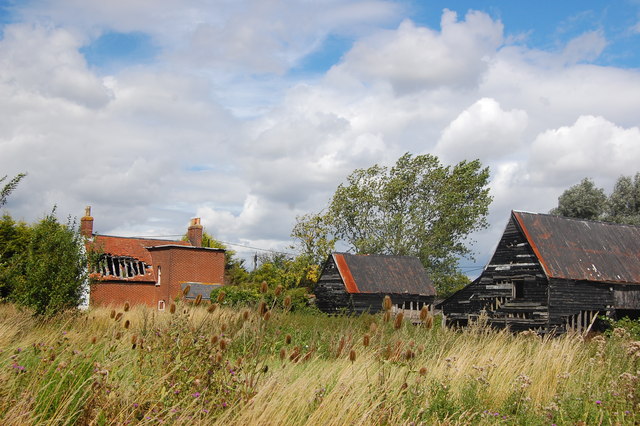
Image: © Trevor Harris Taken: 7 Aug 2011
The Essex Way leaves the road at Little Oakley by the farm here - Burnthouse Farm - which bizarrely enough has suffered a fire.
Images are licensed for reuse under creativecommons.org/licenses/by-sa/2.0
Image Location
Latitude
51.92314
Longitude
1.23093