Earl's Court underground station
Introduction
The photograph on this page of Earl's Court underground station by Rod Allday as part of the Geograph project.
The Geograph project started in 2005 with the aim of publishing, organising and preserving representative images for every square kilometre of Great Britain, Ireland and the Isle of Man.

There are currently over 7.5m images from over 14,400 individuals and you can help contribute to the project by visiting https://www.geograph.org.uk
Earl's Court underground station
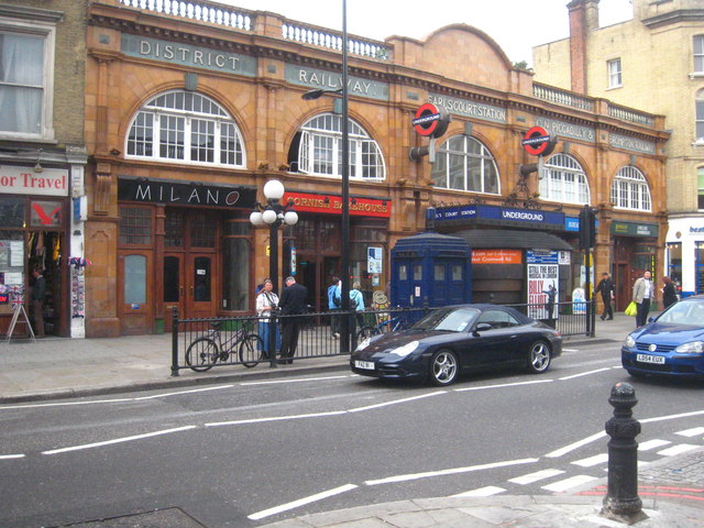
Image: © Rod Allday Taken: 3 Sep 2011
The Earl's Court Road entrance. There is another entrance in Warwick Road, next to the Earl's Court exhibition centre.
Images are licensed for reuse under creativecommons.org/licenses/by-sa/2.0
Image Location
Latitude
51.492059
Longitude
-0.193234