Former manor house, Brixham
Introduction
The photograph on this page of Former manor house, Brixham by Derek Harper as part of the Geograph project.
The Geograph project started in 2005 with the aim of publishing, organising and preserving representative images for every square kilometre of Great Britain, Ireland and the Isle of Man.

There are currently over 7.5m images from over 14,400 individuals and you can help contribute to the project by visiting https://www.geograph.org.uk
Former manor house, Brixham
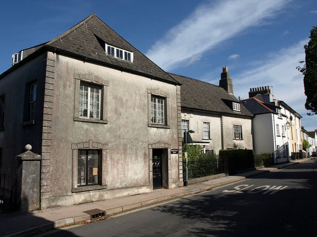
Image: © Derek Harper Taken: 4 Sep 2011
The former town manor house of the Gillards, dating from the C16, now divided into three dwellings http://www.britishlistedbuildings.co.uk/en-383667-friars-pardon-black-house-black-friars-h .
Images are licensed for reuse under creativecommons.org/licenses/by-sa/2.0
Image Location
Latitude
50.385466
Longitude
-3.521616