Earthworks at Bruisyard
Introduction
The photograph on this page of Earthworks at Bruisyard by Ashley Dace as part of the Geograph project.
The Geograph project started in 2005 with the aim of publishing, organising and preserving representative images for every square kilometre of Great Britain, Ireland and the Isle of Man.

There are currently over 7.5m images from over 14,400 individuals and you can help contribute to the project by visiting https://www.geograph.org.uk
Earthworks at Bruisyard
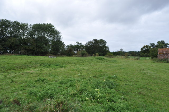
Image: © Ashley Dace Taken: 8 Sep 2011
The former abbey earthworks including leats and stable buildings. Please note the site is private without arrangement. Photography with permission. Image]
Images are licensed for reuse under creativecommons.org/licenses/by-sa/2.0
Image Location
Latitude
52.244221
Longitude
1.416275