Macquarie Farm Close, Yatton
Introduction
The photograph on this page of Macquarie Farm Close, Yatton by Jaggery as part of the Geograph project.
The Geograph project started in 2005 with the aim of publishing, organising and preserving representative images for every square kilometre of Great Britain, Ireland and the Isle of Man.

There are currently over 7.5m images from over 14,400 individuals and you can help contribute to the project by visiting https://www.geograph.org.uk
Macquarie Farm Close, Yatton
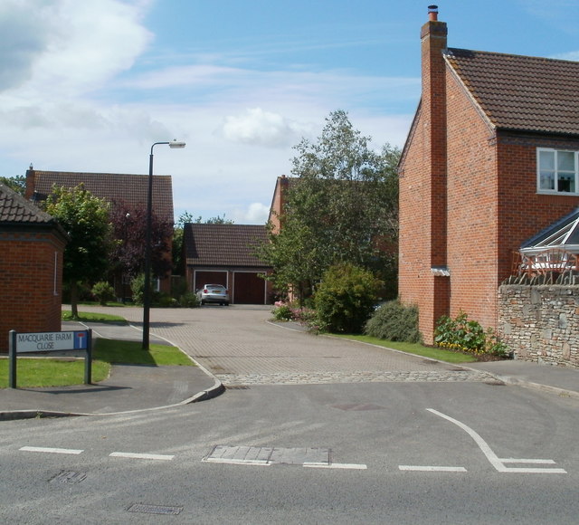
Image: © Jaggery Taken: 23 Jul 2011
A small cul-de-sac of 8 detached houses, on the west side of the B3133, opposite Yatton Rugby Football Club and Netball Club. http://www.geograph.org.uk/photo/2591833
Images are licensed for reuse under creativecommons.org/licenses/by-sa/2.0
Image Location
Latitude
51.393689
Longitude
-2.830702