Georgian housing along Bathwick Hill
Introduction
The photograph on this page of Georgian housing along Bathwick Hill by Neil Owen as part of the Geograph project.
The Geograph project started in 2005 with the aim of publishing, organising and preserving representative images for every square kilometre of Great Britain, Ireland and the Isle of Man.

There are currently over 7.5m images from over 14,400 individuals and you can help contribute to the project by visiting https://www.geograph.org.uk
Georgian housing along Bathwick Hill
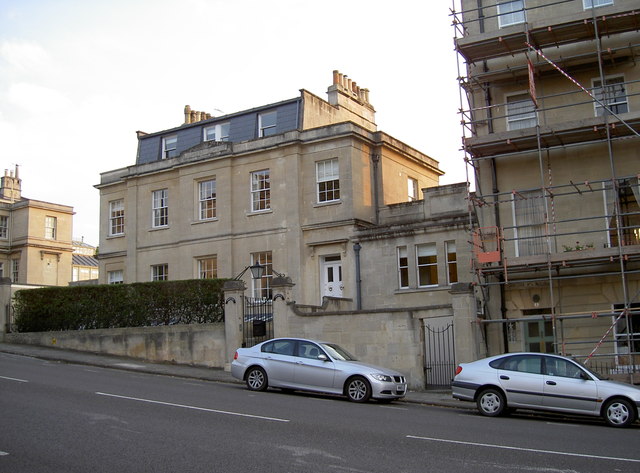
Image: © Neil Owen Taken: 2 Sep 2011
A wider view of this steep road leading down into Bath; a benchmark (one of several along the way) can be seen here: Image
Images are licensed for reuse under creativecommons.org/licenses/by-sa/2.0
Image Location
Latitude
51.68472
Longitude
-2.355785