Concrete posts at the western end of Horsecastle Farm Road, Yatton
Introduction
The photograph on this page of Concrete posts at the western end of Horsecastle Farm Road, Yatton by Jaggery as part of the Geograph project.
The Geograph project started in 2005 with the aim of publishing, organising and preserving representative images for every square kilometre of Great Britain, Ireland and the Isle of Man.

There are currently over 7.5m images from over 14,400 individuals and you can help contribute to the project by visiting https://www.geograph.org.uk
Concrete posts at the western end of Horsecastle Farm Road, Yatton
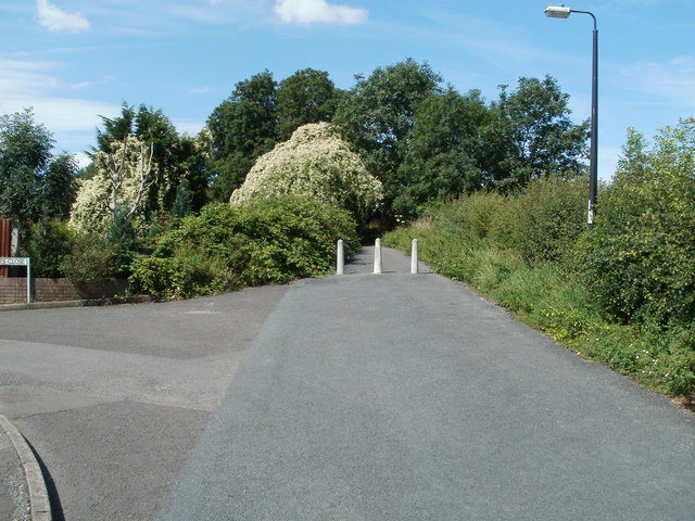
Image: © Jaggery Taken: 23 Jul 2011
Opposite the turning into Jones Close http://www.geograph.org.uk/photo/2591472 three concrete posts mark the end of the driveable part of Horsecastle Farm Road. Beyond the posts is a footpath and cycleway leading to the corner of Brunel Way and Arnold's Way.
Images are licensed for reuse under creativecommons.org/licenses/by-sa/2.0
Image Location
Latitude
51.392759
Longitude
-2.834997