Disused railway near Glenavy (1)
Introduction
The photograph on this page of Disused railway near Glenavy (1) by Albert Bridge as part of the Geograph project.
The Geograph project started in 2005 with the aim of publishing, organising and preserving representative images for every square kilometre of Great Britain, Ireland and the Isle of Man.

There are currently over 7.5m images from over 14,400 individuals and you can help contribute to the project by visiting https://www.geograph.org.uk
Disused railway near Glenavy (1)
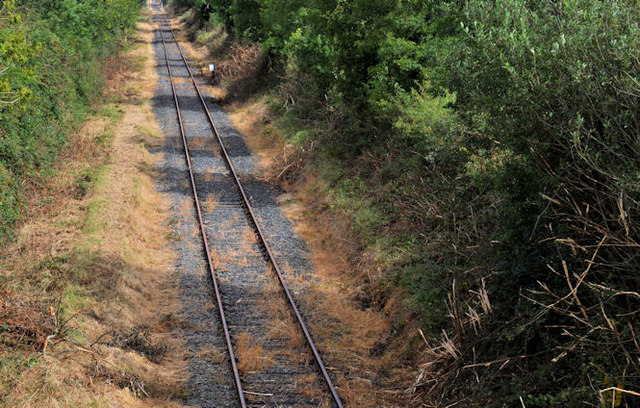
Image: © Albert Bridge Taken: 7 Sep 2011
The “mothballed” Lisburn – Antrim line (looking towards Antrim), from the bridge on the Crumlin Road, Glenavy. Image shows a similar view, in October 2007.
Images are licensed for reuse under creativecommons.org/licenses/by-sa/2.0
Image Location
Latitude
54.59989
Longitude
-6.221495