Railway lines NE from Yatton station
Introduction
The photograph on this page of Railway lines NE from Yatton station by Jaggery as part of the Geograph project.
The Geograph project started in 2005 with the aim of publishing, organising and preserving representative images for every square kilometre of Great Britain, Ireland and the Isle of Man.

There are currently over 7.5m images from over 14,400 individuals and you can help contribute to the project by visiting https://www.geograph.org.uk
Railway lines NE from Yatton station
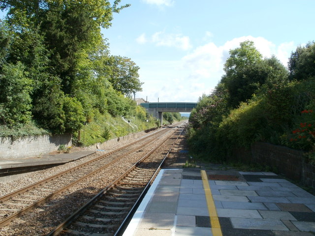
Image: © Jaggery Taken: 23 Jul 2011
The next station is this direction, on the route to Bristol Temple Meads, is Nailsea & Backwell, http://www.geograph.org.uk/photo/1085955 about 6km (nearly 4 miles) away. The bridge carries the B3133. On the north (left) side of the bridge the road is named North End, becoming High Street on the south side.
Images are licensed for reuse under creativecommons.org/licenses/by-sa/2.0
Image Location
Latitude
51.391022
Longitude
-2.826342