The Stables, West Herrington near Sunderland
Introduction
The photograph on this page of The Stables, West Herrington near Sunderland by Malc McDonald as part of the Geograph project.
The Geograph project started in 2005 with the aim of publishing, organising and preserving representative images for every square kilometre of Great Britain, Ireland and the Isle of Man.

There are currently over 7.5m images from over 14,400 individuals and you can help contribute to the project by visiting https://www.geograph.org.uk
The Stables, West Herrington near Sunderland
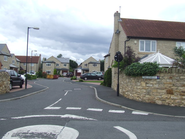
Image: © Malc McDonald Taken: 29 Aug 2011
The Stables, a cul-de-sac of modern houses, at West Herrington near Sunderland.
Images are licensed for reuse under creativecommons.org/licenses/by-sa/2.0
Image Location
Latitude
54.870931
Longitude
-1.460197