Herrington Country Park, near Sunderland
Introduction
The photograph on this page of Herrington Country Park, near Sunderland by Malc McDonald as part of the Geograph project.
The Geograph project started in 2005 with the aim of publishing, organising and preserving representative images for every square kilometre of Great Britain, Ireland and the Isle of Man.

There are currently over 7.5m images from over 14,400 individuals and you can help contribute to the project by visiting https://www.geograph.org.uk
Herrington Country Park, near Sunderland
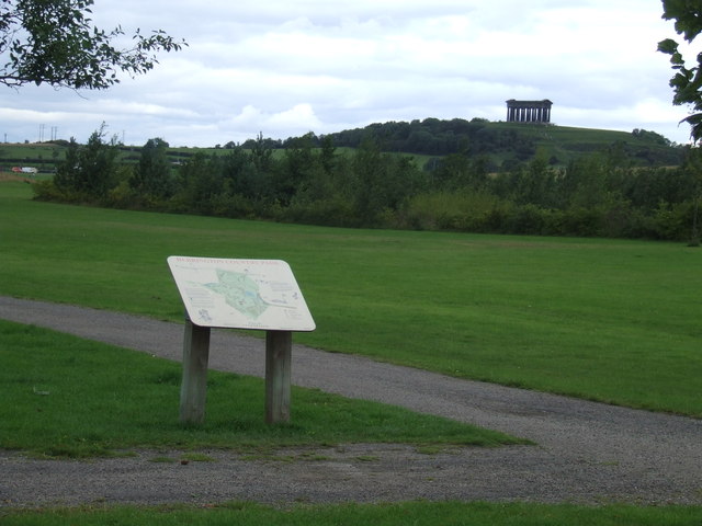
Image: © Malc McDonald Taken: 29 Aug 2011
Herrington Country Park has been created on the site of a former colliery. The colliery closed in 1985. The Penshaw Monument stands on a hilltop in the distance. More information about the Herrington Country Park can be found on the websites of Sunderland City Council http://www.sunderland.gov.uk/index.aspx?articleid=2441 and Keep Britain Tidy http://www.keepbritaintidy.org/GreenFlag/GreenFlagAwardSites/NorthEast/Default.aspx?parkID=301
Images are licensed for reuse under creativecommons.org/licenses/by-sa/2.0
Image Location
Latitude
54.871704
Longitude
-1.472342