Towards Duns from Langton Edge
Introduction
The photograph on this page of Towards Duns from Langton Edge by Jim Barton as part of the Geograph project.
The Geograph project started in 2005 with the aim of publishing, organising and preserving representative images for every square kilometre of Great Britain, Ireland and the Isle of Man.

There are currently over 7.5m images from over 14,400 individuals and you can help contribute to the project by visiting https://www.geograph.org.uk
Towards Duns from Langton Edge
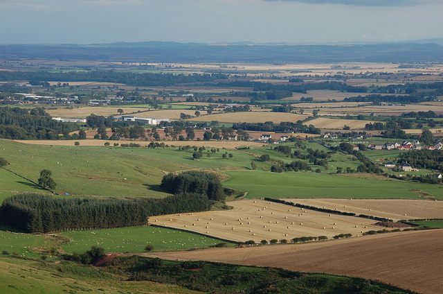
Image: © Jim Barton Taken: 4 Sep 2011
Across the flat farmlands around the Whiteadder Water with Duns itself out of sight to the left. Berwickshire High School is the large building L of centre.
Images are licensed for reuse under creativecommons.org/licenses/by-sa/2.0
Image Location
Latitude
55.773318
Longitude
-2.358631