St Giles tower, Standlake
Introduction
The photograph on this page of St Giles tower, Standlake by Neil Owen as part of the Geograph project.
The Geograph project started in 2005 with the aim of publishing, organising and preserving representative images for every square kilometre of Great Britain, Ireland and the Isle of Man.

There are currently over 7.5m images from over 14,400 individuals and you can help contribute to the project by visiting https://www.geograph.org.uk
St Giles tower, Standlake
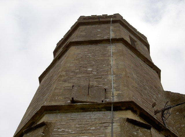
Image: © Neil Owen Taken: 3 Sep 2011
Looking up the tower of the church shows the octagonal design. The church dates back to the late twelfth century, but the tower - with a small spire - was built in the fourteenth. See Image] for a distant view, and Image] for a benchmark.
Images are licensed for reuse under creativecommons.org/licenses/by-sa/2.0
Image Location
Latitude
51.729805
Longitude
-1.426289