Buildings on Exeter Quay from above
Introduction
The photograph on this page of Buildings on Exeter Quay from above by Derek Harper as part of the Geograph project.
The Geograph project started in 2005 with the aim of publishing, organising and preserving representative images for every square kilometre of Great Britain, Ireland and the Isle of Man.

There are currently over 7.5m images from over 14,400 individuals and you can help contribute to the project by visiting https://www.geograph.org.uk
Buildings on Exeter Quay from above
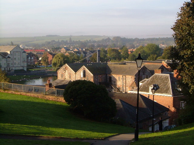
Image: © Derek Harper Taken: 10 Oct 2006
Taken looking down from the pathway beside the city walls (to the right). The side of the Customs House is on the right; Cricklepit Bridge is beyond the warehouse; and the Haven Banks flats are on the left over the river. Beyond is St Thomas.
Images are licensed for reuse under creativecommons.org/licenses/by-sa/2.0
Image Location
Latitude
50.718442
Longitude
-3.53266