Cheney Brook
Introduction
The photograph on this page of Cheney Brook by Espresso Addict as part of the Geograph project.
The Geograph project started in 2005 with the aim of publishing, organising and preserving representative images for every square kilometre of Great Britain, Ireland and the Isle of Man.

There are currently over 7.5m images from over 14,400 individuals and you can help contribute to the project by visiting https://www.geograph.org.uk
Cheney Brook
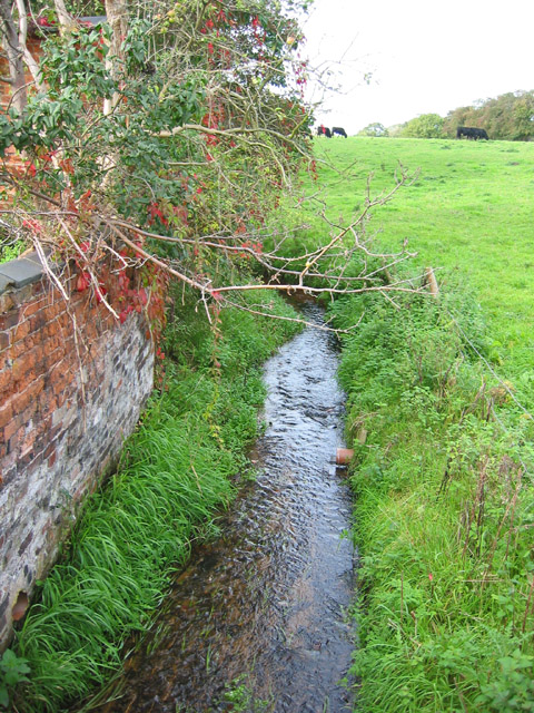
Image: © Espresso Addict Taken: 12 Oct 2006
The brook forms the parish boundary between Nantwich to the west (left) and Willaston to the east (right); the small field (right) forms a buffer of green space between Nantwich and the village. View north west, from Crewe Road
Images are licensed for reuse under creativecommons.org/licenses/by-sa/2.0
Image Location
Latitude
53.067781
Longitude
-2.5014