Cropwell Road closure
Introduction
The photograph on this page of Cropwell Road closure by Alan Murray-Rust as part of the Geograph project.
The Geograph project started in 2005 with the aim of publishing, organising and preserving representative images for every square kilometre of Great Britain, Ireland and the Isle of Man.

There are currently over 7.5m images from over 14,400 individuals and you can help contribute to the project by visiting https://www.geograph.org.uk
Cropwell Road closure
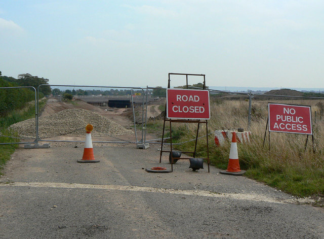
Image: © Alan Murray-Rust Taken: 2 Sep 2011
The road has been closed for a considerable time during the reconstruction of the A46. The structure of the new bridge is complete, but the roadway still remains to be constructed.
Images are licensed for reuse under creativecommons.org/licenses/by-sa/2.0
Image Location
Latitude
52.932046
Longitude
-1.000356