A500 east of Nantwich
Introduction
The photograph on this page of A500 east of Nantwich by Espresso Addict as part of the Geograph project.
The Geograph project started in 2005 with the aim of publishing, organising and preserving representative images for every square kilometre of Great Britain, Ireland and the Isle of Man.

There are currently over 7.5m images from over 14,400 individuals and you can help contribute to the project by visiting https://www.geograph.org.uk
A500 east of Nantwich
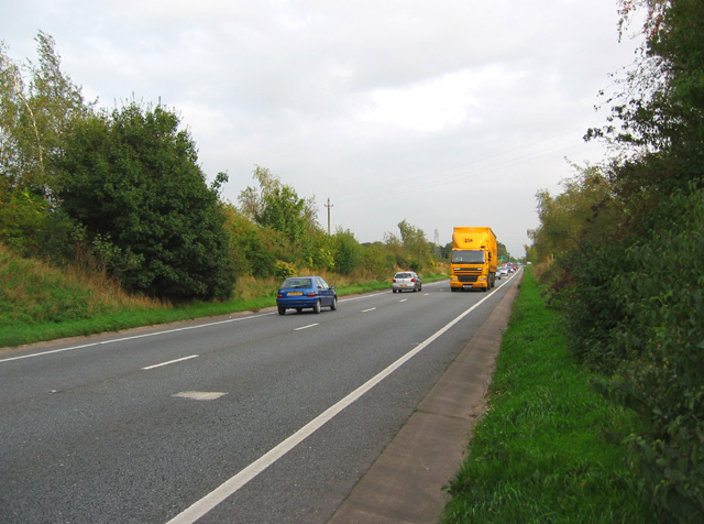
Image: © Espresso Addict Taken: 12 Oct 2006
View south east along the busy A500 trunk road at the crossing with a footpath between Birchin Lane in Nantwich and Colleys Lane. An electricity pylon is visible crossing the road just to the south east. The roundabout whose sign is just visible in the distance is on the boundary of Image and Image
Images are licensed for reuse under creativecommons.org/licenses/by-sa/2.0
Image Location
Latitude
53.074079
Longitude
-2.49998