Path by the River Brent
Introduction
The photograph on this page of Path by the River Brent by Thomas Nugent as part of the Geograph project.
The Geograph project started in 2005 with the aim of publishing, organising and preserving representative images for every square kilometre of Great Britain, Ireland and the Isle of Man.

There are currently over 7.5m images from over 14,400 individuals and you can help contribute to the project by visiting https://www.geograph.org.uk
Path by the River Brent
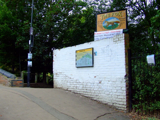
Image: © Thomas Nugent Taken: 29 Aug 2011
The river is out of sight to the left, the path to the right leads to Green Lane and The Fox public house.
Images are licensed for reuse under creativecommons.org/licenses/by-sa/2.0
Image Location
Latitude
51.503358
Longitude
-0.343358