End of the road at Ebbsfleet Farm
Introduction
The photograph on this page of End of the road at Ebbsfleet Farm by Nick Smith as part of the Geograph project.
The Geograph project started in 2005 with the aim of publishing, organising and preserving representative images for every square kilometre of Great Britain, Ireland and the Isle of Man.

There are currently over 7.5m images from over 14,400 individuals and you can help contribute to the project by visiting https://www.geograph.org.uk
End of the road at Ebbsfleet Farm
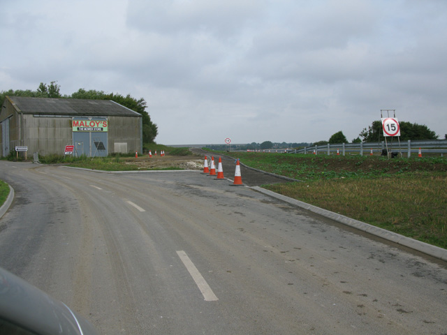
Image: © Nick Smith Taken: 4 Sep 2011
This road ends here at the farm and a couple of businesses, part of the East Kent Access phase 2, the new dual carriageway to the A299 is to the right. See https://shareweb.kent.gov.uk/Documents/roads-and-transport/major-transport/east-kent-access-phase-2.pdf
Images are licensed for reuse under creativecommons.org/licenses/by-sa/2.0
Image Location
Latitude
51.318408
Longitude
1.347129