Upper Water Side, Royd Lane, Cartworth
Introduction
The photograph on this page of Upper Water Side, Royd Lane, Cartworth by Humphrey Bolton as part of the Geograph project.
The Geograph project started in 2005 with the aim of publishing, organising and preserving representative images for every square kilometre of Great Britain, Ireland and the Isle of Man.

There are currently over 7.5m images from over 14,400 individuals and you can help contribute to the project by visiting https://www.geograph.org.uk
Upper Water Side, Royd Lane, Cartworth
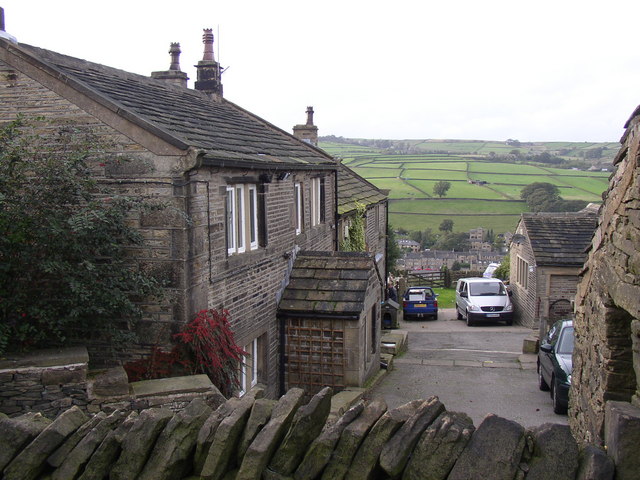
Image: © Humphrey Bolton Taken: 12 Oct 2006
This farm is on the 1850 6" map. The hamlet of Hinchliffe Mill is in the distance down in the Holme valley.
Images are licensed for reuse under creativecommons.org/licenses/by-sa/2.0
Image Location
Latitude
53.557664
Longitude
-1.805228