Looking Down on Bevendean
Introduction
The photograph on this page of Looking Down on Bevendean by Simon Carey as part of the Geograph project.
The Geograph project started in 2005 with the aim of publishing, organising and preserving representative images for every square kilometre of Great Britain, Ireland and the Isle of Man.

There are currently over 7.5m images from over 14,400 individuals and you can help contribute to the project by visiting https://www.geograph.org.uk
Looking Down on Bevendean
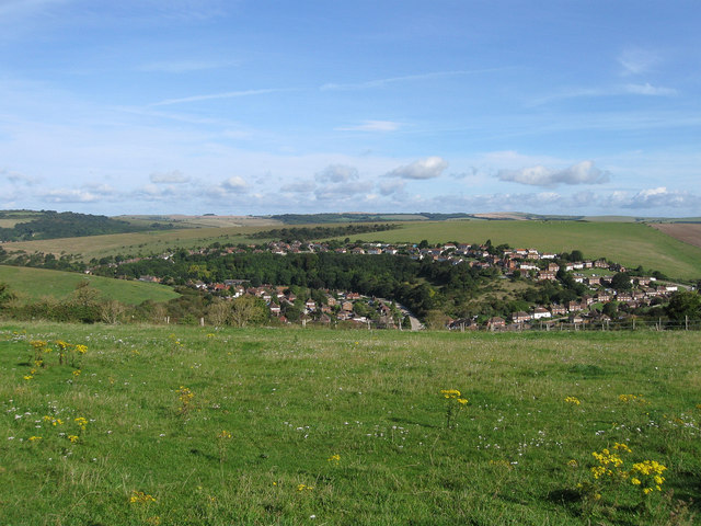
Image: © Simon Carey Taken: 29 Aug 2011
A view of the Brighton suburb from Drove Road. The wooded area on the left marks the location of Moulescoomb Wild Park.
Images are licensed for reuse under creativecommons.org/licenses/by-sa/2.0
Image Location
Latitude
50.836624
Longitude
-0.089707