Craigieburn Gardens, Maryhill
Introduction
The photograph on this page of Craigieburn Gardens, Maryhill by Andrew Reid as part of the Geograph project.
The Geograph project started in 2005 with the aim of publishing, organising and preserving representative images for every square kilometre of Great Britain, Ireland and the Isle of Man.

There are currently over 7.5m images from over 14,400 individuals and you can help contribute to the project by visiting https://www.geograph.org.uk
Craigieburn Gardens, Maryhill
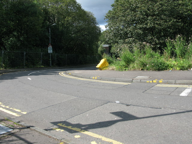
Image: © Andrew Reid Taken: 2 Sep 2011
Looking roughly WSW down Craigieburn Gardens near to Maryhill railway station. The photo was taken from the junction at Maryhill Road.
Images are licensed for reuse under creativecommons.org/licenses/by-sa/2.0
Image Location
Latitude
55.897169
Longitude
-4.296511