Pynchester Moat
Introduction
The photograph on this page of Pynchester Moat by Ian Harrison as part of the Geograph project.
The Geograph project started in 2005 with the aim of publishing, organising and preserving representative images for every square kilometre of Great Britain, Ireland and the Isle of Man.

There are currently over 7.5m images from over 14,400 individuals and you can help contribute to the project by visiting https://www.geograph.org.uk
Pynchester Moat
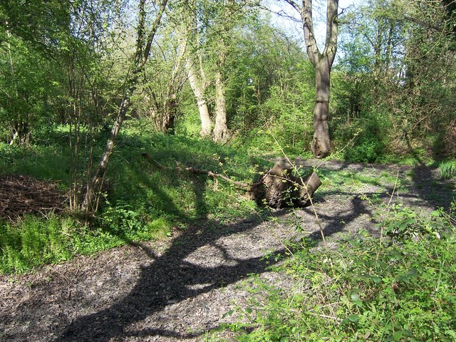
Image: © Ian Harrison Taken: 10 Apr 2011
Part of the Pynchester Moat, a Scheduled Ancient Monument on the River Pinn just east of Copthall Road West. Although usually dry in the summer months, the moat surrounding the location of a manor house can still be seen.
Images are licensed for reuse under creativecommons.org/licenses/by-sa/2.0
Image Location
Latitude
51.569525
Longitude
-0.454225