Unstable embankment, A27 Polegate bypass
Introduction
The photograph on this page of Unstable embankment, A27 Polegate bypass by Robin Webster as part of the Geograph project.
The Geograph project started in 2005 with the aim of publishing, organising and preserving representative images for every square kilometre of Great Britain, Ireland and the Isle of Man.

There are currently over 7.5m images from over 14,400 individuals and you can help contribute to the project by visiting https://www.geograph.org.uk
Unstable embankment, A27 Polegate bypass
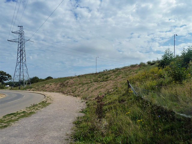
Image: © Robin Webster Taken: 3 Sep 2011
The fairly raw earth between the end of the fence and the pylon points to quite recent repairs to the slope, which over this length has the steepest gradient, being pinched by the road below. This is odd, as both roads were laid out at the same time when the Polegate bypass was built. Was the broad bridlepath bordering the lower road a late addition to the plans?
Images are licensed for reuse under creativecommons.org/licenses/by-sa/2.0
Image Location
Latitude
50.829576
Longitude
0.24074