East End, Wolsingham
Introduction
The photograph on this page of East End, Wolsingham by Andrew Curtis as part of the Geograph project.
The Geograph project started in 2005 with the aim of publishing, organising and preserving representative images for every square kilometre of Great Britain, Ireland and the Isle of Man.

There are currently over 7.5m images from over 14,400 individuals and you can help contribute to the project by visiting https://www.geograph.org.uk
East End, Wolsingham
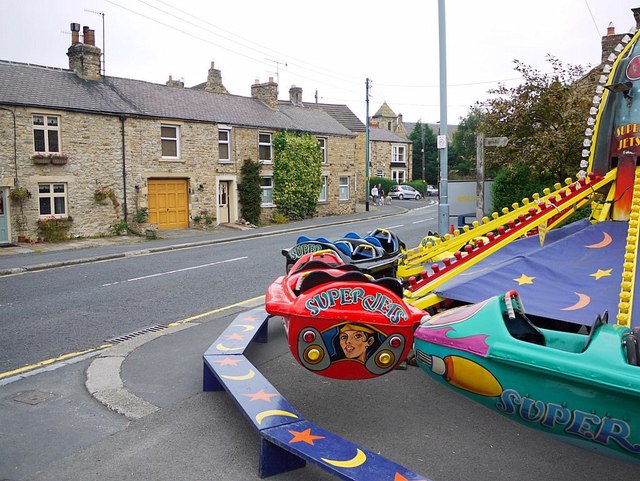
Image: © Andrew Curtis Taken: 2 Sep 2011
Funfair laid out in spaces around the village as part of the Wolsingham Show held on the first weekend of September.
Images are licensed for reuse under creativecommons.org/licenses/by-sa/2.0
Image Location
Latitude
54.729727
Longitude
-1.8818