View from Rowanston
Introduction
The photograph on this page of View from Rowanston by Mary and Angus Hogg as part of the Geograph project.
The Geograph project started in 2005 with the aim of publishing, organising and preserving representative images for every square kilometre of Great Britain, Ireland and the Isle of Man.

There are currently over 7.5m images from over 14,400 individuals and you can help contribute to the project by visiting https://www.geograph.org.uk
View from Rowanston
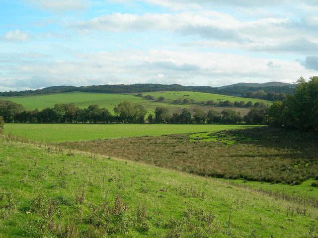
Image: © Mary and Angus Hogg Taken: 10 Oct 2006
Looking SE from Rowanston Farm, showing low-lying marshy ground and rich farmland
Images are licensed for reuse under creativecommons.org/licenses/by-sa/2.0
Image Location


Leaflet Map data © OpenStreetMap
Latitude
55.314639
Longitude
-4.656727