2011 : Rodway Hill, Mangotsfield
Introduction
The photograph on this page of 2011 : Rodway Hill, Mangotsfield by Maurice Pullin as part of the Geograph project.
The Geograph project started in 2005 with the aim of publishing, organising and preserving representative images for every square kilometre of Great Britain, Ireland and the Isle of Man.

There are currently over 7.5m images from over 14,400 individuals and you can help contribute to the project by visiting https://www.geograph.org.uk
2011 : Rodway Hill, Mangotsfield
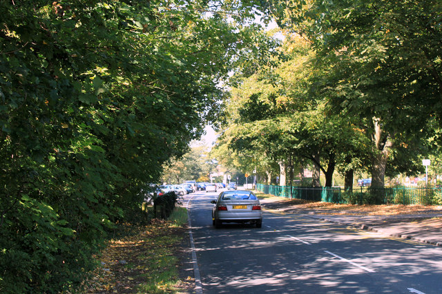
Image: © Maurice Pullin Taken: 2 Sep 2011
Looking north toward Mangotsfield village. The road is named "Rodway Hill" the open space is to the left of the road.
Images are licensed for reuse under creativecommons.org/licenses/by-sa/2.0
Image Location
Latitude
51.478984
Longitude
-2.484785