Station Road, West Rainton
Introduction
The photograph on this page of Station Road, West Rainton by Malc McDonald as part of the Geograph project.
The Geograph project started in 2005 with the aim of publishing, organising and preserving representative images for every square kilometre of Great Britain, Ireland and the Isle of Man.

There are currently over 7.5m images from over 14,400 individuals and you can help contribute to the project by visiting https://www.geograph.org.uk
Station Road, West Rainton
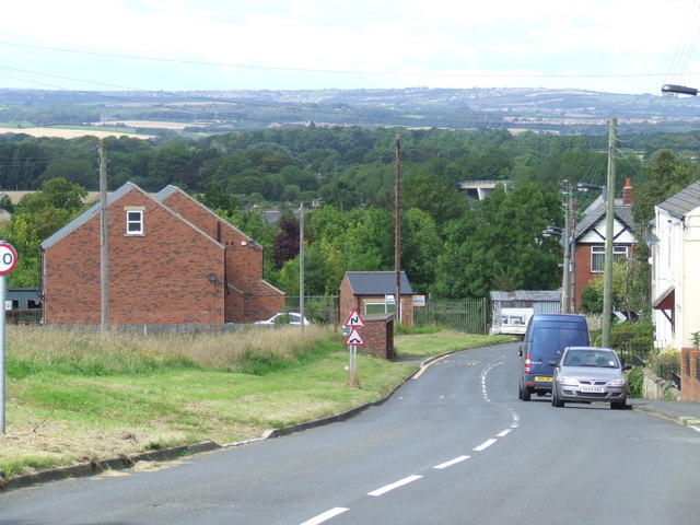
Image: © Malc McDonald Taken: 28 Aug 2011
Station Road in West Rainton leads downhill to the site of Leamside railway station, which closed in 1953. The station was behind the buildings where trees have now grown and matured. In the background, the concrete bridge carries a country lane over the A1(M) trunk road.
Images are licensed for reuse under creativecommons.org/licenses/by-sa/2.0
Image Location
Latitude
54.812469
Longitude
-1.512013