Southern boundary of Brecon Beacons National Park near Llantilio Pertholey
Introduction
The photograph on this page of Southern boundary of Brecon Beacons National Park near Llantilio Pertholey by Jaggery as part of the Geograph project.
The Geograph project started in 2005 with the aim of publishing, organising and preserving representative images for every square kilometre of Great Britain, Ireland and the Isle of Man.

There are currently over 7.5m images from over 14,400 individuals and you can help contribute to the project by visiting https://www.geograph.org.uk
Southern boundary of Brecon Beacons National Park near Llantilio Pertholey
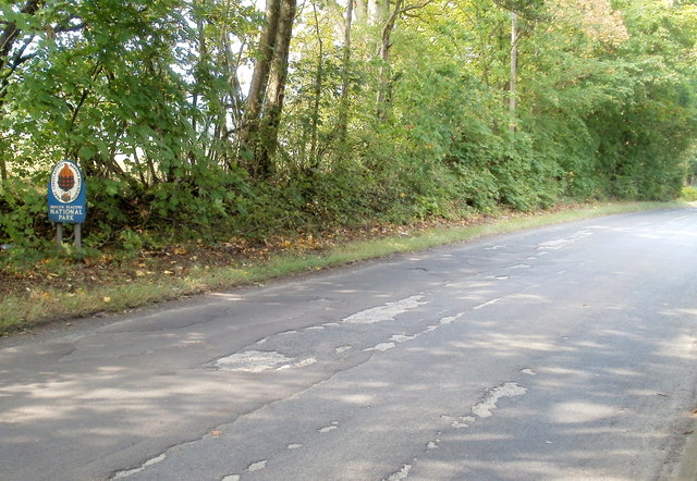
Image: © Jaggery Taken: 1 Sep 2011
A sign alongside Hereford Road, to the north of Llantilio Pertholey, marks the southern edge of the National Park. The southern boundary of the park is river-like in its meandering course. The SE edge is 16 kilometres (10 miles) south of here, at New Inn, Pontypool. http://www.geograph.org.uk/photo/2486975
Images are licensed for reuse under creativecommons.org/licenses/by-sa/2.0
Image Location
Latitude
51.841921
Longitude
-3.002954