Christmas Cottage
Introduction
The photograph on this page of Christmas Cottage by Roger Templeman as part of the Geograph project.
The Geograph project started in 2005 with the aim of publishing, organising and preserving representative images for every square kilometre of Great Britain, Ireland and the Isle of Man.

There are currently over 7.5m images from over 14,400 individuals and you can help contribute to the project by visiting https://www.geograph.org.uk
Christmas Cottage
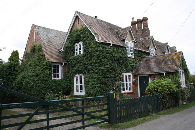
Image: © Roger Templeman Taken: 30 Aug 2011
Underneath the bushes on the SE face of the house there is allegedly an Ordnance Survey cut mark benchmark which was levelled at 61.273m above Newlyn Datum and verified in 1971, see http://www.bench-marks.org.uk/bm25866
Images are licensed for reuse under creativecommons.org/licenses/by-sa/2.0
Image Location
Latitude
51.634076
Longitude
-1.187357